|
Today is:
Tuesday 15.07.2025
Weather

©2008 Mediapool
|
ergis.cz > Trail through the Valley of Bile Labe, Weber's Trail
hiking path
Ergis #ID: 597
Trail through the Valley of Bile Labe, Weber's Trail
Špindlerův Mlýn Dívčí lávky - Pec pod Sněžkou Lucni Bouda
detailed map
The trail opened more than a hundred years ago (1891), is part of one of the most romantic journeys in Krkonose. The valley is bordered on the north by Maly Spicak and Stribrny hrbet/Silver Ridge and on the south by the steep slopes of the Kozi Hrbety/ Goats Ridges. Many features which are typical for Krkonose can be seen here.
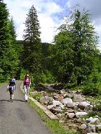
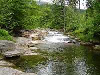
From Divci lavky/Girls' Footbridge to the Bile Labe/White Labe waterfalls. The trail begins on the right bank where all the tributaries enter. First, we cross Cerveny potok/Red Brook, then a smaller brook and then 3/4 km further, just behind the Bile Labe waterfalls, Hrimava bystrina/Thunder Stream.
We continue on the right bank and 1/2 km bellow the chalet U Bileho Labe we cross the river to the steeper side of the valley. The chalet is located at the crossing with Drevarska/Loggers' trail (8-yellow marked trail) at an altitude of almost 1000m above sea level (originally at this altitude, mostly beech forests used to grow). At this point, we come to Certova strouha/Devil's guiley and to the side Certuv Dul/Devil's Valley.
When we take a step further, we enter the second zone of the national park. Please do not forget that from this moment you should remain only on marked tourist trails. Also, mountain bikes are prohibited. After 1/2 km, we will also enter the first zone - the most sensitive and the most highly protected zone just a few hundred meters further we will reach areas covered by dwarf mountain pine and cross several avalanche tracks.
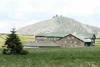
Throughout summer, a rocky path leads us up, while during winter, it is closed and a trail marked by wooden poles continues further long the Bile Labe across Stribrna bystrina/Silver Stream. On the right there are the second and the third highest mountains in the Czech Republic - Lucni hora/Meadow Mountain (1547m) and Studnicni hora/Well Mountain (1554m). A large extent of the plain of Bila louka/White meadow is covered by dwarf mountain pine, a large portion was cut down and burned in order to clear the area up for agricultural use. These secondary meadows consist mainly of mat-grass (Nardus stricta).
Where can we go from here? From Lucni bouda we can cross Upske raseliniste/peat-bog to Snezka. Another possibility is to hike to Renner's Cross, a memorial to prey of the mountains, and back to Spindleruv Mlyn. The third possibility is to follow Old Buchar's Trail through Svaty Petr to Spindleruv Mlyn.
| Length | 8.5 km | | Elevation rise | 640 m | | Maximal altitude | 1420 m | | Minimal altitude | 780 m |
|
|


